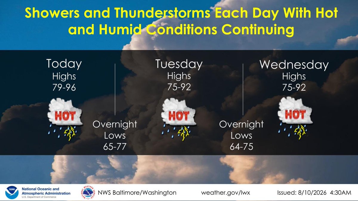
Washington residents face a double threat Monday, Aug. 10: severe thunderstorms capable of damaging wind gusts arriving this afternoon while the heat index climbs above 100°F under Mayor Muriel Bowser's active heat alert.
The National Weather Service Baltimore/Washington office warned at 6:21 a.m. Monday that an active pattern for afternoon thunderstorms has returned and will persist for several days. Severe storms are possible each day through midweek, with damaging wind gusts the primary hazard.
7News First Alert meteorologist Jordan Evans said "weakening storms from the Great Lakes could spark isolated showers and thunderstorms Monday afternoon and evening," according to WTOP. The storm threat compounds an already active heat alert for the District.
Monday and Tuesday are forecast to be the hottest days, with highs around 95°F and heat index values above 100°F. Evans said the hot, humid conditions should persist through Tuesday before temperatures ease closer to seasonal averages Wednesday.
Daily storm chances continue through midweek, with a likely break Thursday. A slow-moving cold front may bring cooler temperatures and lower humidity by Friday.
Heat alert runs through Thursday
Bowser's heat alert, which the city extended Saturday, Aug. 8, remains in effect through 8 a.m. Thursday, Aug. 13. During the alert, the District operates free cooling centers at public libraries, community centers, recreation centers and shelters, according to the mayor's office.
For current cooling center hours and locations, visit heat.dc.gov.
Residents concerned about neighbors experiencing homelessness, or who need free transportation to a shelter or day center, can call the Shelter Hotline at 202-399-7093 or dial 311. Sign up for free weather and emergency alerts through AlertDC at alert.dc.gov.
What to expect this week
- Monday, Aug. 10: Partly cloudy, chance for storms, highs around 95°F, heat index above 100°F, winds W 5–10 mph
- Tuesday, Aug. 11: Partly sunny, chance for storms, highs 92–97°F, winds W 10–15 mph
- Wednesday, Aug. 12: Partly sunny, chance for storms, highs 85–90°F
- Thursday, Aug. 13: Partly cloudy, highs 85–90°F
- Friday, Aug. 14: Partly cloudy, chance for storms, highs 80–85°F
The cold front expected Friday could bring one more round of showers before drier air arrives for the weekend.